
-
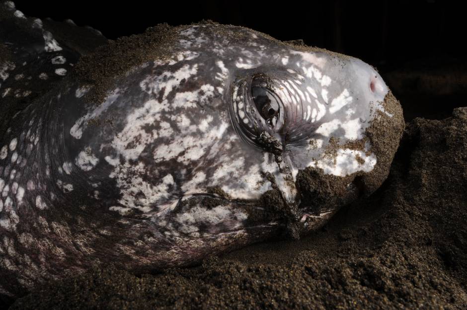
Ureka
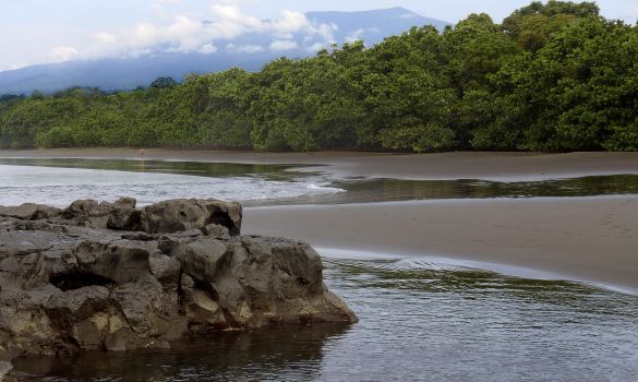
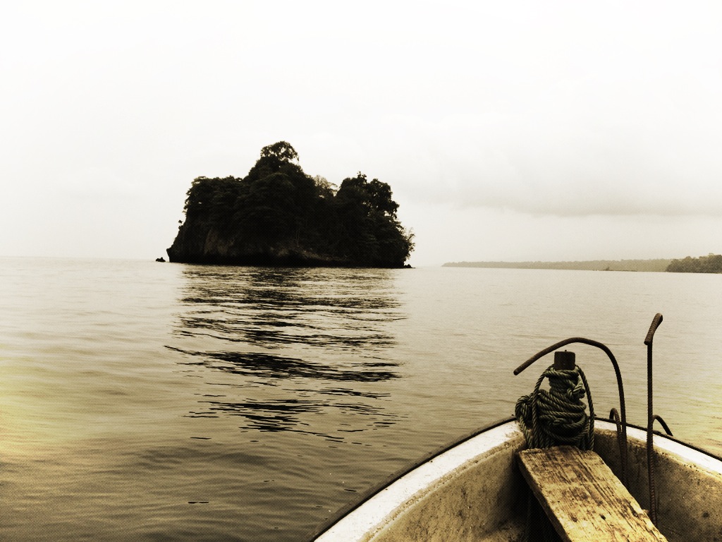
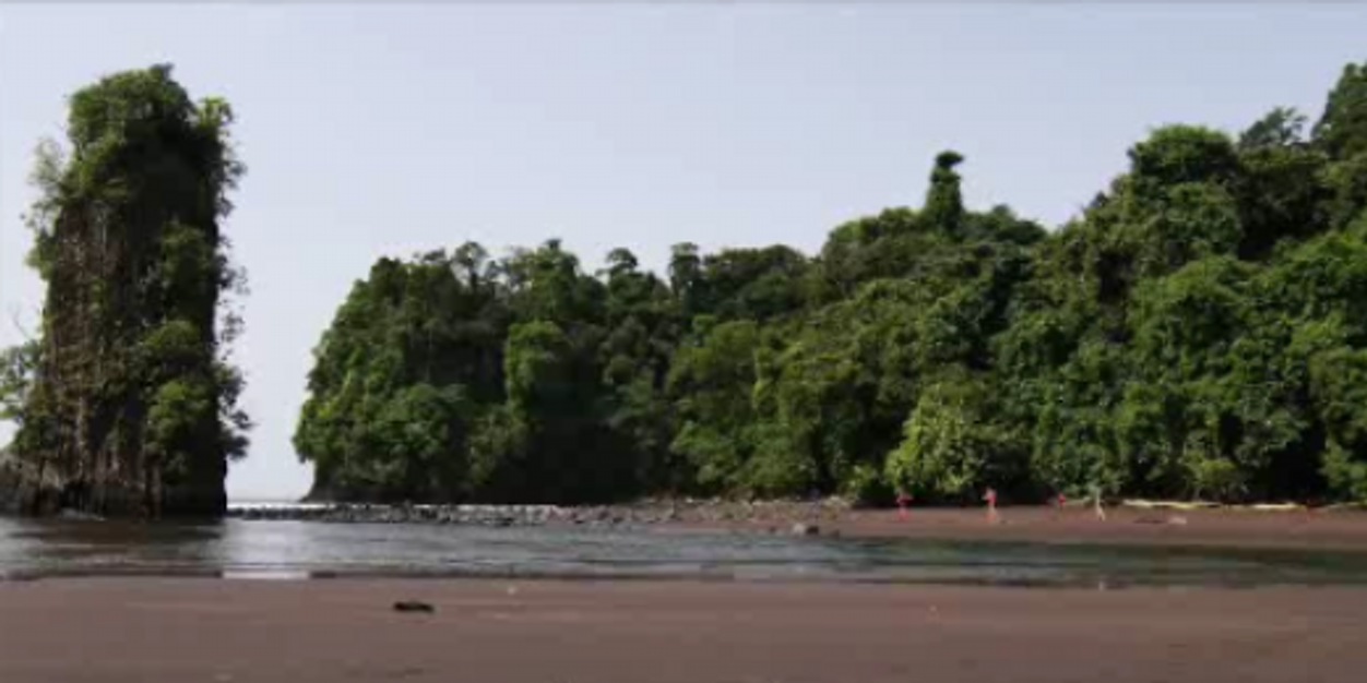
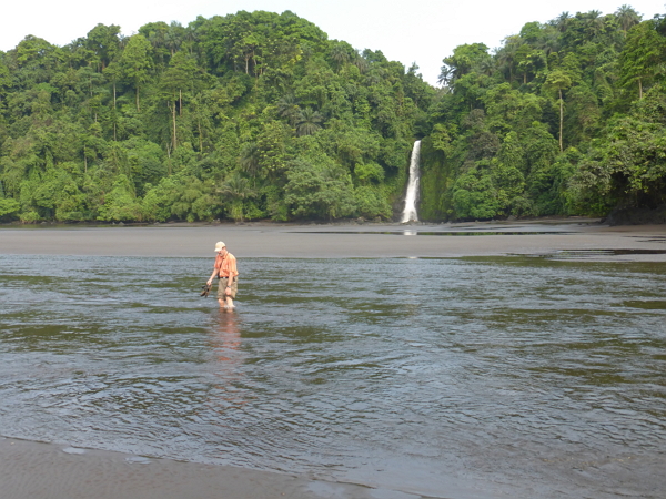
Cogo (also known as Kogo or Koszho, formerly Puerto Iradier) is a remote town on the Muni estuary in Rio Muni, Equatorial Guinea, lying east of Acalayong. It is known for its partly ruined Spanish Colonial architecture. It is the southernmost city of the Littoral province of Equatorial Guinea. It is located 121 km from Bata by road or 117 km when traveling through Acalayong. It is surrounded to the east and southeast by the Congüe River and to the west and southwest by the Mitemle River. Both the Congüe and the Mitemle Rivers drain the Muni Estuary, sometimes giving the city of Cogo the shape and appearance of an island when in fact it is a peninsuala. A few meters from the port that is currently being renovated is the uninhabitable Island of Evele. Most of the population, especially the coastal population heavily rely on subsistence fishing and the Muni estuary was a major source of income as it was the gateway for passengers traveling to neighboring Gabon.
-
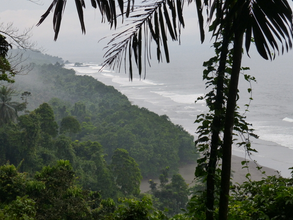
Ureka
Cogo (also known as Kogo or Koszho, formerly Puerto Iradier) is a remote town on the Muni estuary in Rio Muni, Equatorial Guinea, lying east of Acalayong. It is known for its partly ruined Spanish Colonial architecture. It is the southernmost city of the Littoral province of Equatorial Guinea. It is located 121 km from Bata by road or 117 km when traveling through Acalayong. It is surrounded to the east and southeast by the Congüe River and to the west and southwest by the Mitemle River. Both the Congüe and the Mitemle Rivers drain the Muni Estuary, sometimes giving the city of Cogo the shape and appearance of an island when in fact it is a peninsuala. A few meters from the port that is currently being renovated is the uninhabitable Island of Evele. Most of the population, especially the coastal population heavily rely on subsistence fishing and the Muni estuary was a major source of income as it was the gateway for passengers traveling to neighboring Gabon.
-
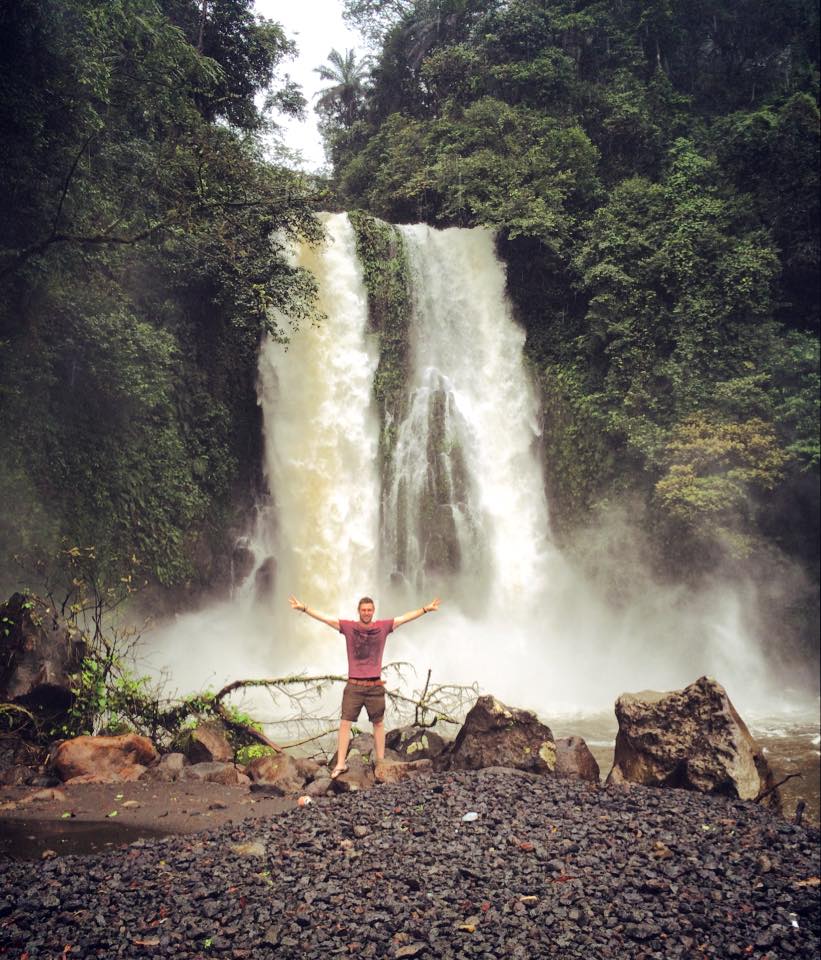
Ureka
Cogo (also known as Kogo or Koszho, formerly Puerto Iradier) is a remote town on the Muni estuary in Rio Muni, Equatorial Guinea, lying east of Acalayong. It is known for its partly ruined Spanish Colonial architecture. It is the southernmost city of the Littoral province of Equatorial Guinea. It is located 121 km from Bata by road or 117 km when traveling through Acalayong. It is surrounded to the east and southeast by the Congüe River and to the west and southwest by the Mitemle River. Both the Congüe and the Mitemle Rivers drain the Muni Estuary, sometimes giving the city of Cogo the shape and appearance of an island when in fact it is a peninsuala. A few meters from the port that is currently being renovated is the uninhabitable Island of Evele. Most of the population, especially the coastal population heavily rely on subsistence fishing and the Muni estuary was a major source of income as it was the gateway for passengers traveling to neighboring Gabon.
-
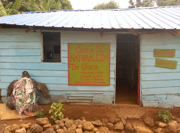
Ureka
Cogo (also known as Kogo or Koszho, formerly Puerto Iradier) is a remote town on the Muni estuary in Rio Muni, Equatorial Guinea, lying east of Acalayong. It is known for its partly ruined Spanish Colonial architecture. It is the southernmost city of the Littoral province of Equatorial Guinea. It is located 121 km from Bata by road or 117 km when traveling through Acalayong. It is surrounded to the east and southeast by the Congüe River and to the west and southwest by the Mitemle River. Both the Congüe and the Mitemle Rivers drain the Muni Estuary, sometimes giving the city of Cogo the shape and appearance of an island when in fact it is a peninsuala. A few meters from the port that is currently being renovated is the uninhabitable Island of Evele. Most of the population, especially the coastal population heavily rely on subsistence fishing and the Muni estuary was a major source of income as it was the gateway for passengers traveling to neighboring Gabon.
-
Ureka
Cogo (also known as Kogo or Koszho, formerly Puerto Iradier) is a remote town on the Muni estuary in Rio Muni, Equatorial Guinea, lying east of Acalayong. It is known for its partly ruined Spanish Colonial architecture. It is the southernmost city of the Littoral province of Equatorial Guinea. It is located 121 km from Bata by road or 117 km when traveling through Acalayong. It is surrounded to the east and southeast by the Congüe River and to the west and southwest by the Mitemle River. Both the Congüe and the Mitemle Rivers drain the Muni Estuary, sometimes giving the city of Cogo the shape and appearance of an island when in fact it is a peninsuala. A few meters from the port that is currently being renovated is the uninhabitable Island of Evele. Most of the population, especially the coastal population heavily rely on subsistence fishing and the Muni estuary was a major source of income as it was the gateway for passengers traveling to neighboring Gabon.
